 |
ARUBA |
Aruba is an island in
the southern Caribbean Sea, located about 1,600 kilometres west
of the Lesser Antilles and 29 kilometres north of the coast of
Venezuela. It is 32 km. long from its northwestern to its
southeastern end and 10 kilometres across at its widest point.
Together with Bonaire and Curaçao, Aruba forms a group referred
to as the ABC islands. Collectively, Aruba and the other Dutch
islands in the Caribbean are often called the Netherlands
Antilles or the Dutch Caribbean. Aruba is one of the four
constituent countries that form the Kingdom of the Netherlands,
along with the Netherlands, Curaçao and Sint Maarten. The
citizens of these countries all share a single nationality:
Dutch. Aruba has no administrative subdivisions, but, for census
purposes, is divided into eight regions. Its capital is
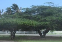
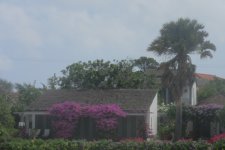
Oranjestad. Unlike much of the Caribbean region, Aruba has a dry
climate and an arid, cactus-strewn landscape. This climate has
helped tourism as visitors to the island can reliably expect
warm, sunny weather. It has a land area of 179 km2 (69.1 sq mi)
and is densely populated, with a total of 102,484 inhabitants at
the 2010 Census. It lies outside the hurricane belt. When we were
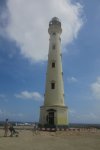
in Curacau 2014 we took a daytrip to Aruba, rented a car and
easily covered the whole island Aruba became the 81st country I
visited.. Here are some pictures from the visit.
Click on the picture to
have a larger version.
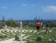
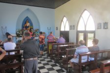
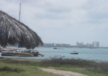
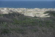
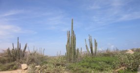
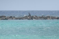
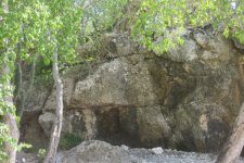
| On
the way towards the northerly point of the island |
 |
 |
 |
 |
 |
 |
 |
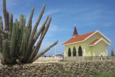
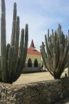
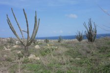
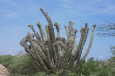
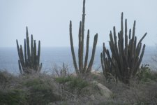
| Various
interesting cactus plants |
 |
 |
 |
 |
 |
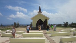
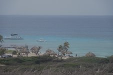
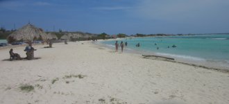
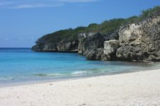
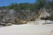
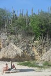
| Beach
at the most sourtherly part of the island |
 |
 |
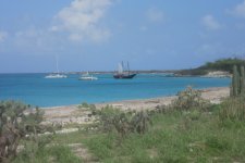
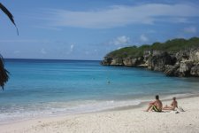
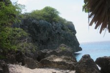
| We
drove back towards the north and found this lovely beach
where we relaxed for some hours, snorkling and bathing |
 |
 |
 |
 |
 |
 |
<- Back to the index